
Weather advisories north of that line and weather warnings south of Ottaw
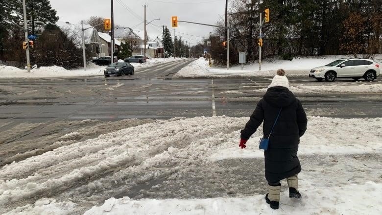
The second snowstorm of the week is expected to hit Kingston and Belleville the hardest, starting late Friday night. The Ottawa area won’t be spared, though.
Environment Canada has issued snowfall and winter storm warnings south of Ottawa, and north of that line, they have issued special weather statements.
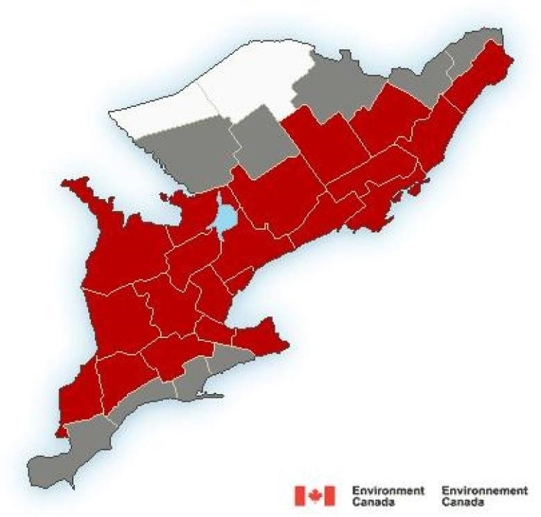
Kingston and Belleville are expected to get between 15 and 25 centimeters of snow by Saturday morning, and it may blow at times.
Environment Canada wouldn’t be shocked if four centimeters of snow fell in an hour.
15 to 20 centimeters of snow could fall in nearby Tweed and Brockville.
Kemptville, Cornwall, and Lanark County, which are further away, are expected to get about 15 centimeters.
Weather alerts say that 10 to 15 centimeters of snow will fall in Ottawa, Renfrew County, Prescott-Russell, and western Quebec, which are all above the warning line.
The only place in eastern Ontario and western Quebec without a warning or statement is the Deep River area.
On Tuesday, there were 15.4 centimeters of snow at Ottawa’s international airport, and the day before, there were 15.6 centimeters.
Since the first snowflakes fell, nearly three meters of snow have fallen in the capital. Since the official start of winter, 11 days have had 10 centimeters or more of snow.
It’s also been warmer than usual, and Sunday’s high is expected to be 3 °C and Monday’s is 5 °C, just as it should be.